Edwin Gyasi Owusu.
Geological Engineer · Mining · Geotechnical · Oil & Gas
Engineering the future through geology, data analytics, and AI.
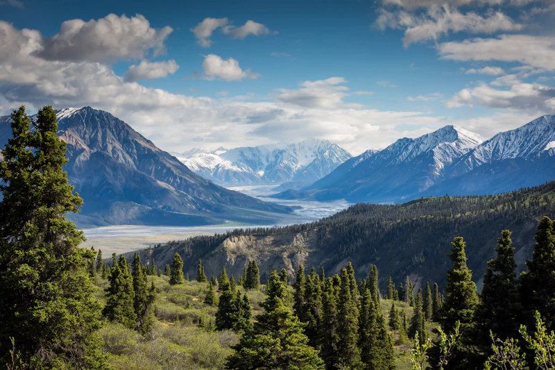
A geological engineer who thinks in systems.
disciplines
case studies
internships
tools in practice
I'm a geological engineer with a strong pull toward mining operations and the systems that make them work. I don't just look at geology. I think about how field data connects to decisions, how processes can run better, and where the gaps are between site operations and engineering insight.
My work spans geotechnical engineering, exploration geophysics and geochemistry, hydrogeology, and engineering geological investigations: the practical side of getting useful answers out of difficult sites.
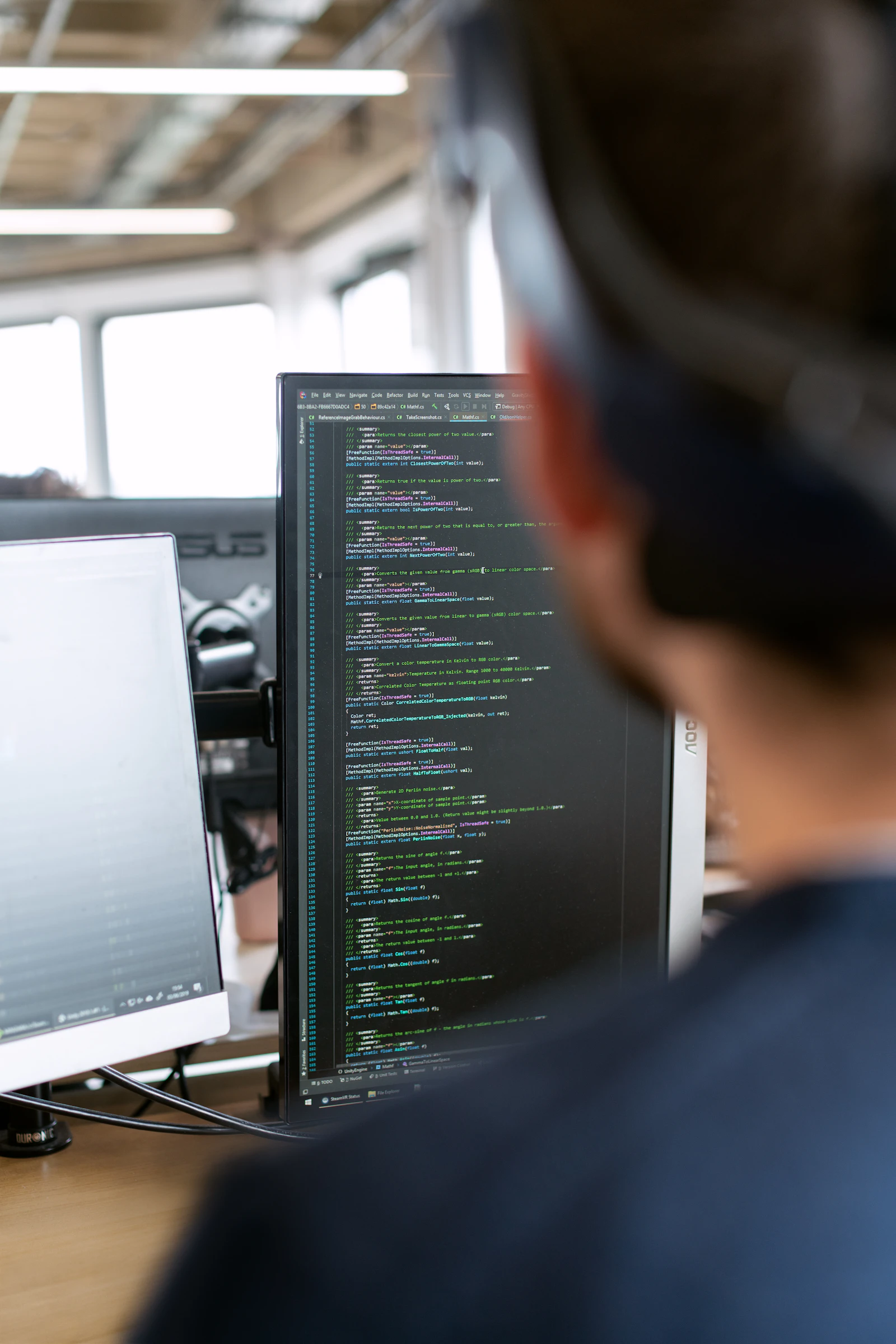
I sharpen my edge at the intersection of technical geology and data analytics, using Python, SQL, and Power BI to turn raw site data into something actionable. I think in systems and workflows, not just tasks.
Selected engineering work.
Three case studies across process engineering, geostatistics, and geotechnical site characterization.

Energy Efficiency Audit of a Construction Business
A self-initiated review of electricity use at a construction materials company, identifying high-consumption areas and proposing practical cost savings.
Spatial Distribution of Trace Metals in Soil
Mapping As, Pb, Cd, and Ni contamination patterns across Abuakwa South using kriging and spline geostatistics.
Geotechnical Site Characterization from Borehole Data
Translating subsurface investigation data into actionable foundation design recommendations, covering SPT correction, soil profiling, and bearing capacity calculations across six borehole locations.
Eon Designs
My design studio, covering brand identity, event collateral, and print production for organisations across Ghana. See the full studio site and portfolio.
Skills & Certifications.
The tools, methods, and credentials I lean on across engineering, data, and creative work.
Engineering
Field, mapping, and geotechnical practice.
Data & AI
Turning raw site data into decisions.
Creative
Visual communication and brand systems.
Certifications
Ongoing training and formal credentials.
Work & leadership.
Internships, roles, and studio work that shaped the path so far.
Public Relations Officer
Led communications and member engagement for a 500+ attendee conference. Ran the "I Will Be Joining" campaign and supported the launch of a new chapter at UENR. Awarded a Certificate of Appreciation by Ing. Henry Antwi (FAusIMM).
Geotechnical Intern
Supported geotechnical investigation and laboratory testing routines under senior engineers, across site characterization, soil testing pipelines, and reporting practice.
Founder & Creative Director
Founded and run a working design studio serving organisational clients across Ghana, including AusIMM Tarkwa, GESS-KNUST, ICGC, and Fragilda. Output spans brand identity, print production, and large-volume automation (500+ programmatically generated certificates).
Construction Materials Intern
First professional exposure to construction materials workflows on active project sites, including quantity tracking, materials handling, and site operations alongside the technical team.
Let's talk.
Whether it's a project, a collaboration, or a conversation about the work, my inbox is open.